
Featured Promotion...

Featured Promotion...

Featured Promotion...

Featured Promotion...

Quick Links
Latest Blog Posts


Adoptable Pet(s) of the Week: Meet Ferrah, Jackie and Katie
Ears for days!!!! Meet Ferrah, Jackie and Katie! This big eared beauties came up on our latest Texas transport! How cute are ...
Aug 18, 2021

Adoptable Pet of the Week: Meet Vader
This cute face belong to Vader! He is a very sweet about 2 year old boy who loves to be around people, for for walks and play...
Aug 11, 2021

Adoptable Pet(s) of the Week: Meet the Avenger kittens
Meet our Avenger kittens! Thor, Hulk, Groot and Nebula are all looking for their forever homes to come along! These siblings ...
Aug 04, 2021

The Artist Spotlight- Krashkarma
The Artist Spotlight today featured KrashKarma and their new single, "Summer Storm." The song is from the band's ne...
Jul 30, 2021
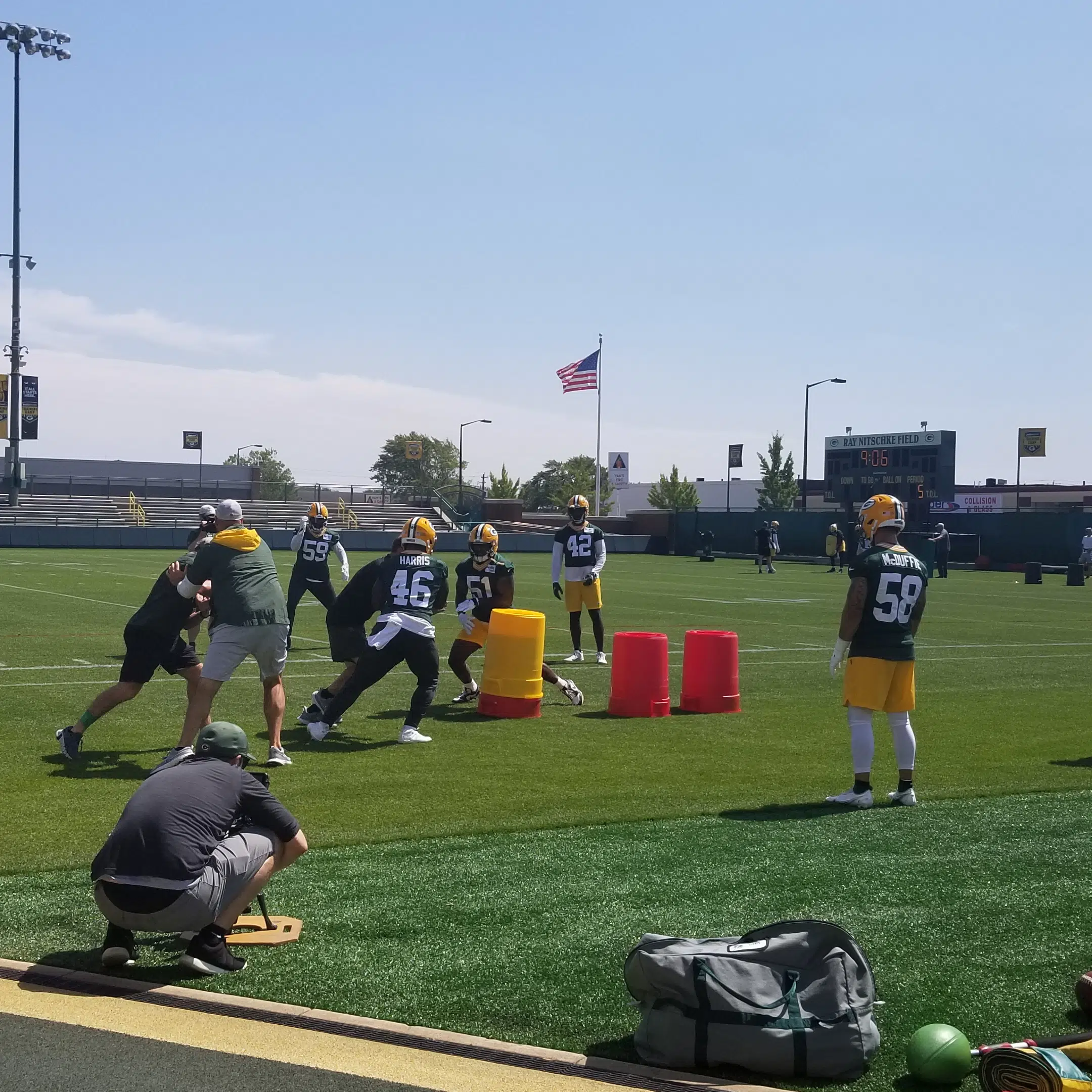
Final Exam Week
The final week of training camp got underway today and for all the players who didn't even put on a uniform against the New Y...
6h ago

Jets depart Green Bay with win
Keep in mind it was an afternoon for evaluation as the New York Jets defeated the Green Bay Packers 23-14 before an announced...
Aug 22, 2021
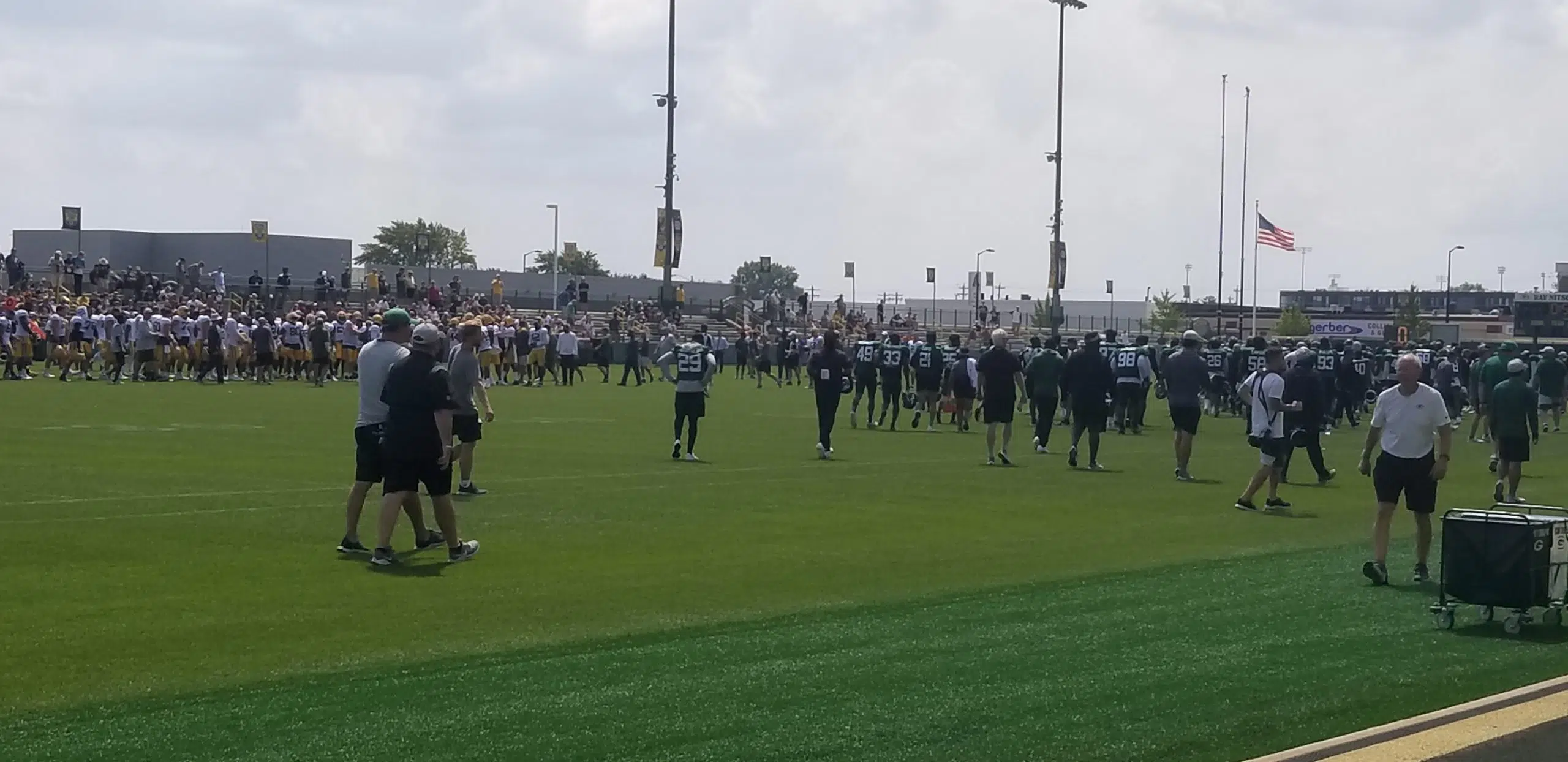
Day 2 with the Jets
The second practice between the Green Bay Packers and New York Jets was a little shorter, so were the fuses. The temperature ...
Aug 20, 2021
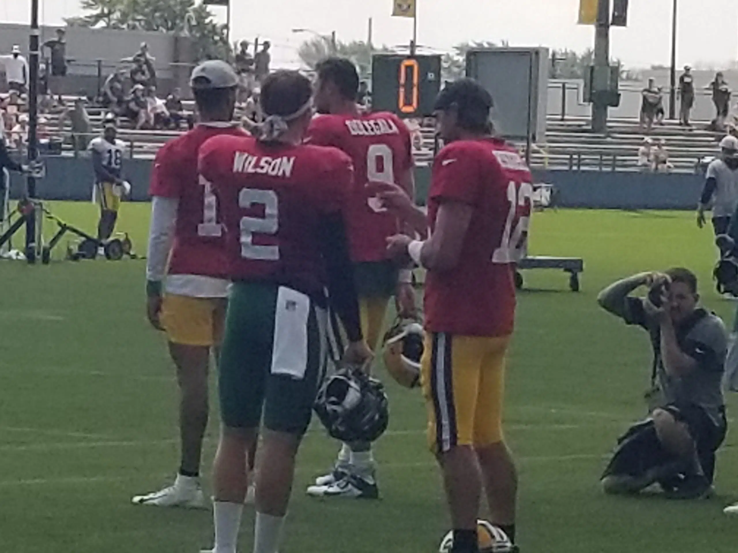
Day 1 with the Jets
Even Matt LaFleur had to admit, "It's pretty cool" to get together with his buddy Robert Saleh and reflect on their...
Aug 19, 2021
Station Galleries
54
Photos
Photos
Rock Fest Performance Photos 2021
4 weeks ago
17
Photos
Photos
Rock 94.7 Friends at Fest 2021
1 month ago
6
Photos
Photos
Women of Rock Fest 2021
1 month ago
12
Photos
Photos
Rock Fest Tattoos 2021
1 month ago
17
Photos
Photos
Rock Fest Couples 2021
1 month ago
11
Photos
Photos
Bad Tatts 2021
3 months ago
16
Photos
Photos
NorthStar Restoration Services 3rd Annual Car Enthusiast Meet N' Greet Cookout & Service To Armed Forces Fundraiser
11 months ago
8
Photos
Photos
All Stars Under the Stars 2020 With Hyde
12 months ago
26
Photos
Photos
Show Us Your Bad Tatts
1 year ago
10
Photos
Photos
Bowl For Kids Sake-Skipp's Bowling Center
1 year ago
33
Photos
Photos
Farm Aid @ Alpine Valley on 09/21/19
1 year ago
70
Photos
Photos
Green & Gold Fan Zone Coverage 2019
1 year ago
15
Photos
Photos
Wausau Events’ Winterfest 2020!!!
1 year ago
Local News Stories

Wausau School District Taxes Should Remain Stable for 2022
WAUSAU, WI (WSAU) -- The Wausau School Board Education and Operations Committee has given initial approval to the 2021-'22 bu...
6h ago

Wausau Woman Cited for OWI After Crashing Into Lincoln County Patrol Unit
MERRILL, WI (WSAU) -- A 63-year-old Wausau woman received a citation for driving while intoxicated after she crashed into a L...
17h ago

Former Wisconsin Bishop Out Of ICU
LA CROSSE, WI (WSAU) -- The former bishop in La Crosse is out of the ICU as he continues to be treated for the coronavirus. C...
19h ago

Mayors Monday: Rothschild Administrator Gary Olsen
ROTHSCHILD, WI (WSAU) -- Volunteers with the Riverside Fire Department in Rothschild and Schofield will soon make runs out of...
22h ago

Man Killed In Lincoln County ATV Crash
HARRISON, WI (WSAU) -- A man was killed in an ATV accident on Saturday night in the Lincoln County Town of Harrison. It happe...
Aug 23, 2021
Music News

Paul McCartney unveils full list of songs profiled in upcoming The Lyrics book
Liveright/W.W. NortonIn February, Paul McCartney announced plans to release a book this fall called The Lyrics: 1956 to the P...
9h ago

Eddie Vedder, Alice Cooper, Dave Matthews & more taking part in Audible’s ‘Words + Music’ series
Kevin Mazur/Getty Images for Global Citizen VAX LIVE Pearl Jam's Eddie Vedder, Alice Cooper and Dave Matthews are among artis...
9h ago

Elton John charts on the 'Billboard' Hot 100 for first time in 21 years
EMI/InterscopeElton John is back on the Billboard Hot 100 for the first time in 21 years -- and he has Dua Lipa to thank. Bil...
11h ago

Corey Taylor urges vaccination after feeling "the worst I've ever been sick in my life" with COVID-19
Scott Dudelson/Getty ImagesCorey Taylor is encouraging all his fans to get vaccinated as he recovers from a battle with COVID...
11h ago

Ringo Starr, Brian Wilson and more stars pay tribute to late Everly Brothers singer Don Everly
Jo Hale/Getty ImagesDon Everly of the influential early rock 'n' roll duo The Everly Brothers died Saturday at his home in Na...
12h ago


